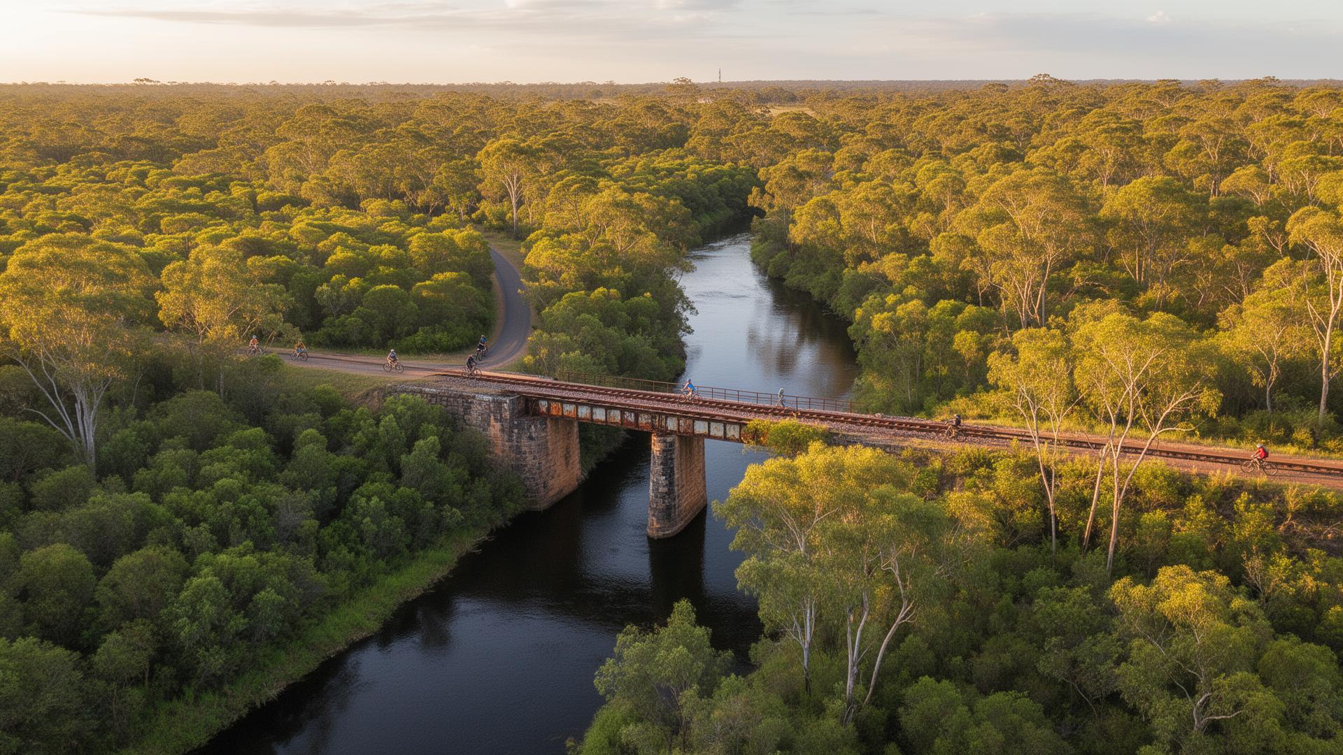
The Burnett region is home to two significant rail trails — remnants of the railway lines that once connected remote towns to the coast. Today, they offer some of Queensland's finest cycling and horse-riding experiences, passing through tunnels, over heritage bridges, and alongside the Burnett River.
Brisbane Valley Rail Trail
Australia's longest rail trail stretches from Wulkuraka to Yarraman. The southern end — from Yarraman through to Blackbutt — passes through the South Burnett's pine plantations and heritage towns, offering riders a taste of the region's timber history.
Trail Highlights
- Yarraman to Blackbutt section through pine forests
- Historic Linville railway station
- Scenic D'Aguilar Range crossings
- Australia's longest rail trail
Burnett River Rail Trail
Following the bed of the former Mundubbera–Gayndah railway, this trail winds through citrus country along the Burnett River. Riders pass through river red gum corridors, across heritage bridge sites, and past the remnants of the railway's golden age.
Trail Highlights
- Follows the historic Mundubbera–Gayndah railway line
- Crosses the Burnett River floodplain
- Heritage bridge pylons and abutments
- Citrus orchard views and river red gums
Equestrian Trail Variations
The Burnett's rail trails are among Queensland's best for horse riding. These curated routes include horse float parking, water points, and difficulty ratings for equestrian visitors.
Yarraman Pine Forest Ride
A scenic half-day ride through Queensland's tallest pine plantations. The wide, graded rail trail surface suits experienced trail horses. Morning rides recommended for cooler temperatures under the canopy.
Blackbutt Range Descent
The most dramatic section of the BVRT, descending through the D'Aguilar Range with panoramic views. Suited to confident, sure-footed horses accustomed to gradients. Not recommended after heavy rain.
Burnett River Flats Ride
The premier equestrian trail in the Burnett. Flat, wide, and shaded by river red gums, this ride follows the Burnett River through citrus orchards and pastoral country. Perfect for a relaxed full-day ride with multiple water stops.
Gayndah Heritage Circuit
A gentle loop ride starting from Queensland's oldest inland town. Ideal for visitors with horses who want a short scenic ride before exploring Gayndah's heritage buildings and cafes.
Trail Tips
Best Time to Ride
April to October — cooler months with clear skies. Avoid December–February heat.
Suitable Bikes
Gravel or hybrid bikes recommended. Mountain bikes for the Burnett River trail.
Navigation
GPS waypoints above can be entered into bike computers or smartphone apps.
Difficulty
The BVRT has some elevation. The BRRT is mostly flat river country — great for families.